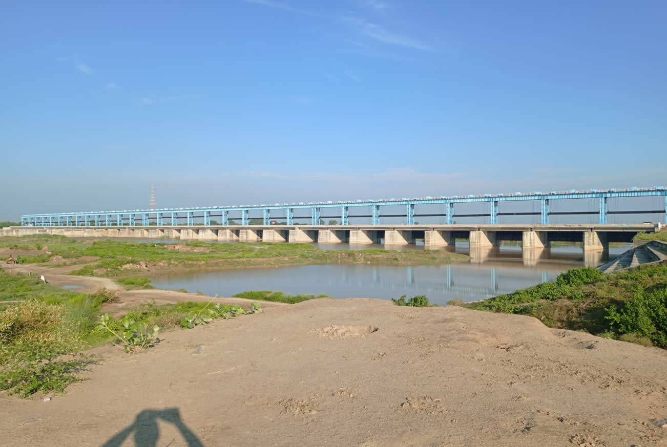
Salient Features of The Project
Work Done Value- (Rs. in Cr.) 327.12
Completed Month/Year : June-2019
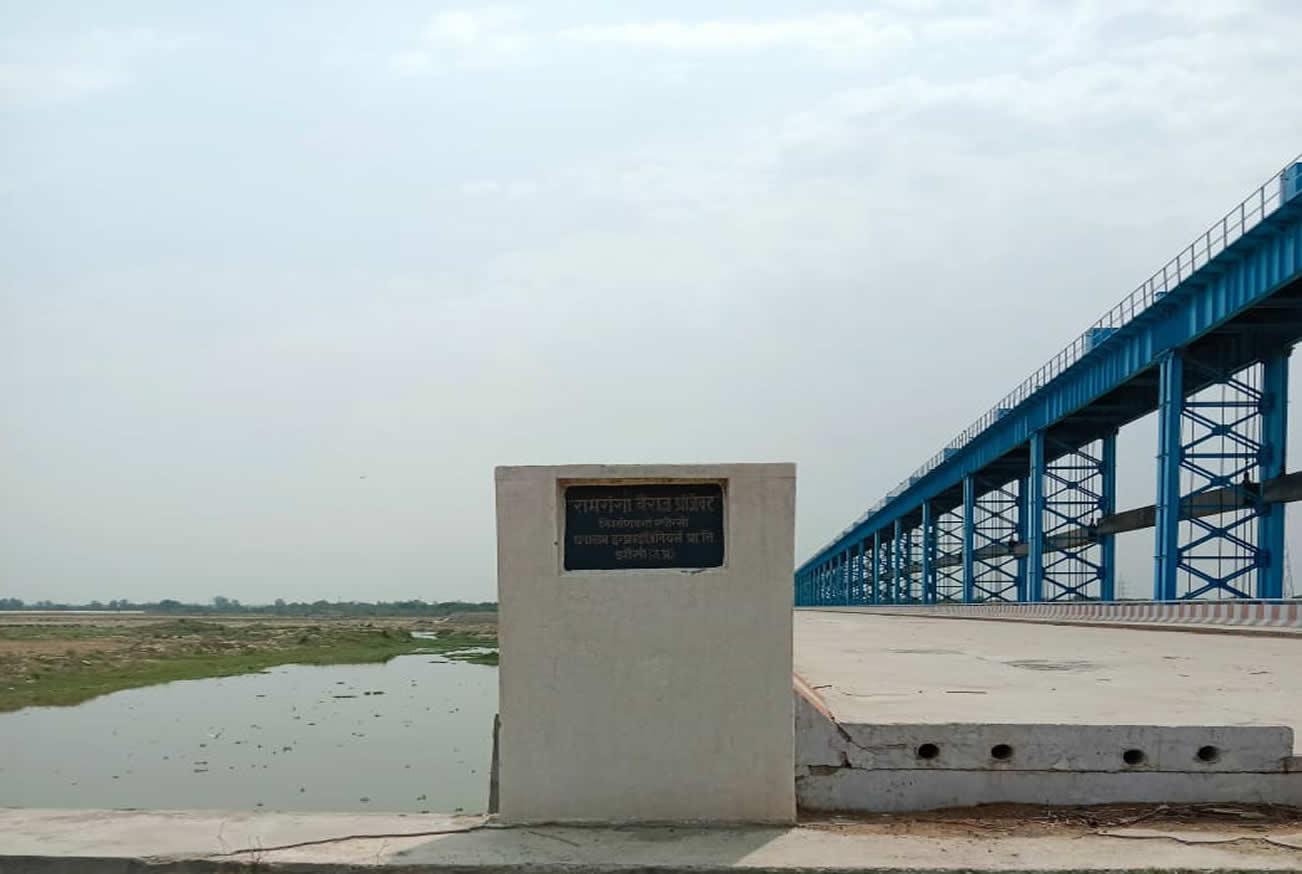
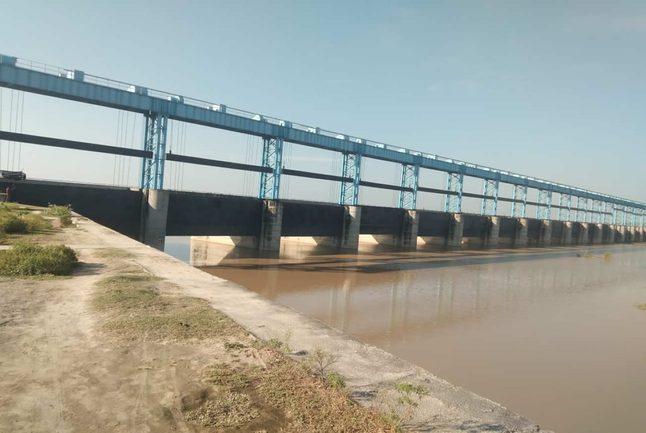
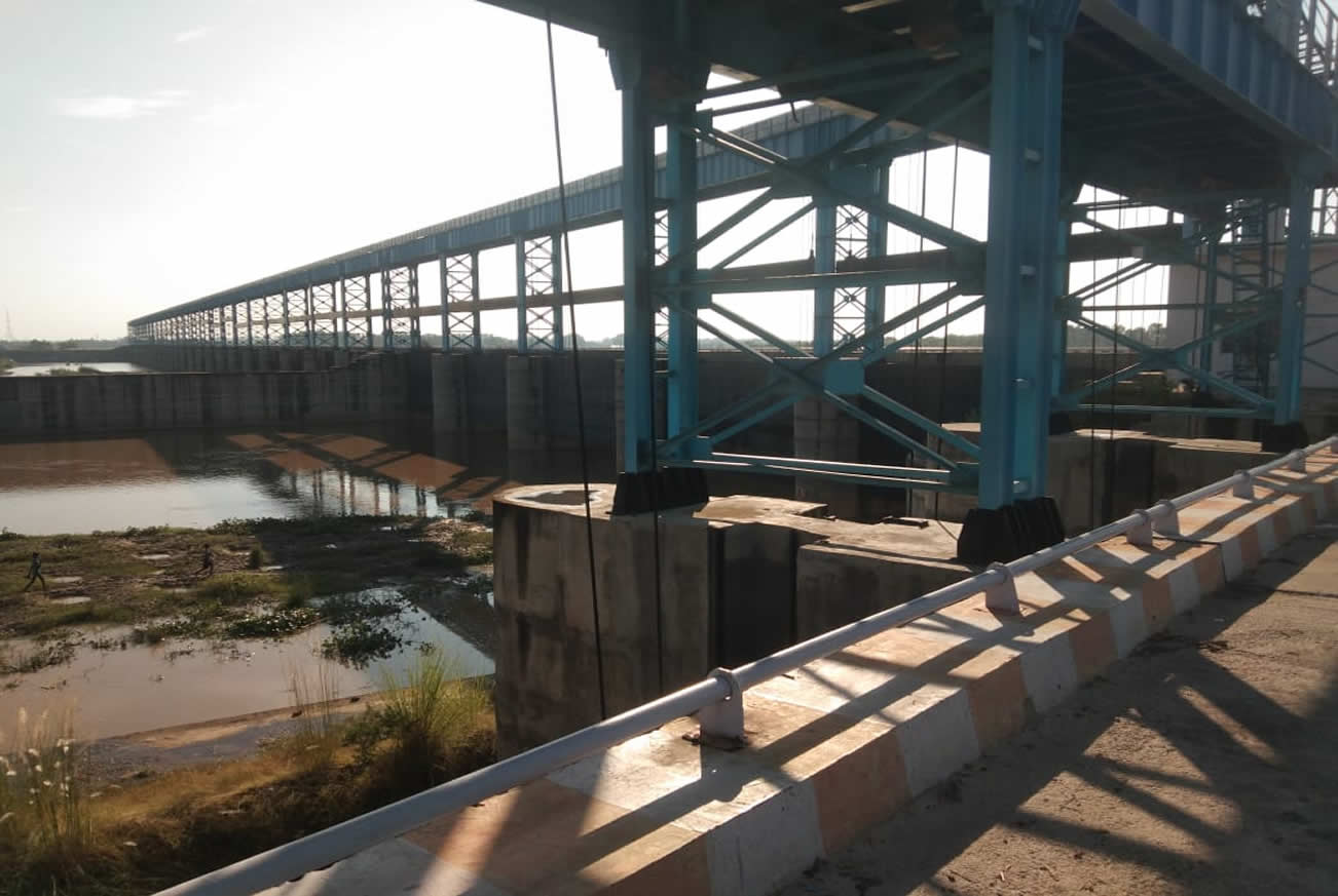
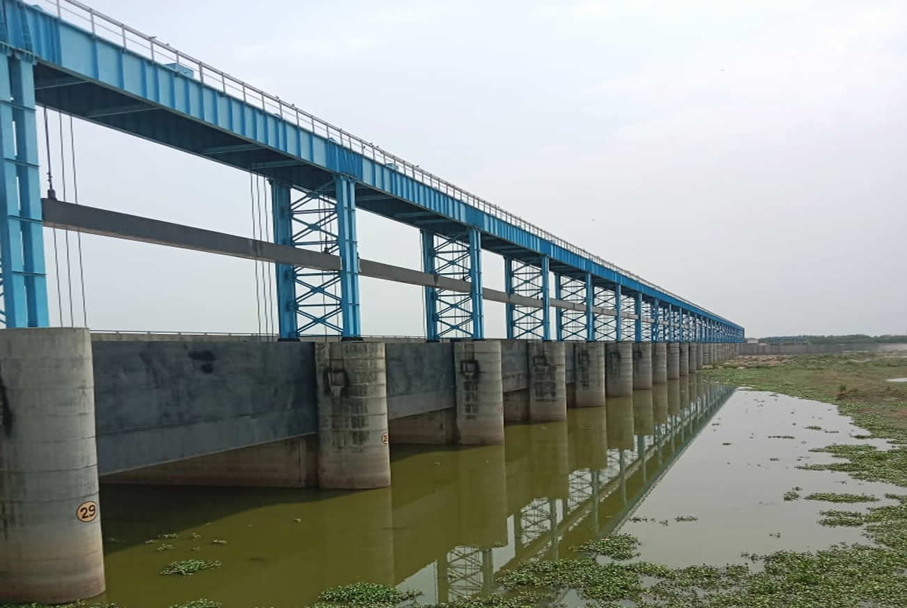
- Project Name: Const. of Ram Ganga Barrage and U/S & D/S Guide Bunds in District bareilly
- Location : At River Ramganga about 500M D/S of P.W.D Road Bridge on Bareilly-Badaun State Highway-33
- Source River : Ganga
- Bridge length: 613.00M
- Design Discharge : 10900.00 Cumec
- Total No. of bays : 30 No
- Under sluice bays (18 M each) : 5No.
- Other barrage bays (18 M each ) : 25No.
- Crest Level of under sluice bays : 158.00M
- Crest level of other barrage bays : 159.00M
- Average bed level of river : 159.00M.
- Fish ladder bay : 2M each.
- Guide buncs : U/S Length-500 M & D/S length-170M each.
- Width of roadway : Two Lane.
History and introduction
Ramganga river is a major tributary of Ganga river it originates from the chamoli District of uttrakhand, After traversing from the uttera kahand, western uttar pradesh it passes from bareilly and merge in the Ganga River at District Kannauj of U.P.
Kharif irrigation facilities will be provided to the farmers of Bareilly and Badaun District from ramaganga baargar at bareilly. The construction of the barrage will improve the environmental conditions and will also provide better communication facilities as well as it will improve the ground water table coditions in the command area.

